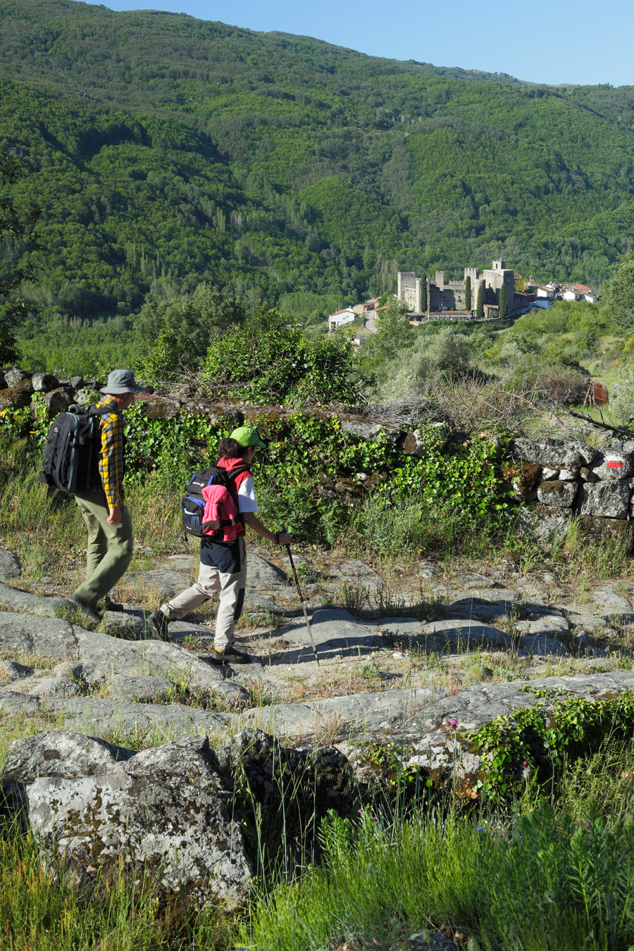
Whoever it was could not have done a better job of setting out the southern limits of the province of Salamanca. The border is exactly where it should be. The route takes you across a plateau and once at the top, there are some lovely beauty spots that only Mother Nature could have created, and even then only once in a while. Next is an ascent to a mountain pass with all that this involves: an extra effort is required but there is a guaranteed reward just a few metres on.
Having just crossed into Salamanca, and just in case there were any doubts in your mind as to the identity of this land, behold: El Coto de Nuestra Señora del Carmen Historic Gardens – a century old landscape masterpiece, commissioned by Diego Trespalacios y Carvajal, the Count of Trespalacios, native son of Trujillo, to Valencia landscape artists, Tomás Veyrant, of French descent. Travellers breathe in the aromas of far distant lands as they make their way past Peñacaballera, the first village you come across along the southern Jacobean route.
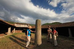
At this point, a singular spot that evokes a number of different eras. One moment travellers are making their way past a structure from the Roman period, enjoying the sweet aroma of century old trees from across the sea, the next, they are crossing over a national highway from the past century and next, making their way past a very modern infrastructure from the present century. And all this, in a matter of metres, which make the 890-metre climb to the top much more bearable. Emerging to the right of the path, a few metres further up, the mighty Béjar mountain pass.
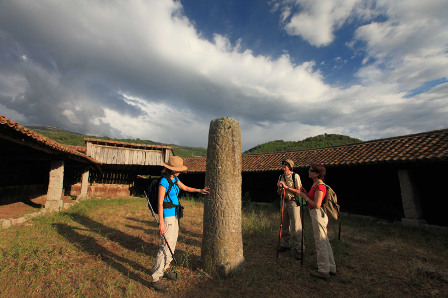
Travellers have now walked less than an old Roman mile, a thousand yards, a little under a kilometre-and-a-half, in metric terms, through the province of Salamanca. There is an abundance of milestone markers along the 73-mile stretch of the way that crosses Salamanca. From the start of the Vía de la Plata or Silver Way in the city the Romans called Augusta Emerita, which we now know as Merida, the 131-mile marker is the first on Salamanca soil; mile 204, the last. And they say that there are mansios, or taverns, built along the way. These were official buildings that were used in the same way as our present day hostels. Nevertheless, the experts have yet to come to a consensus as to the exact location of the “Caelionicco” the first of these, although it could well be in the vicinity of Peñacaballera. Experts from Caceres say Baños de Montemayor. We’ll let the experts continue with their research!
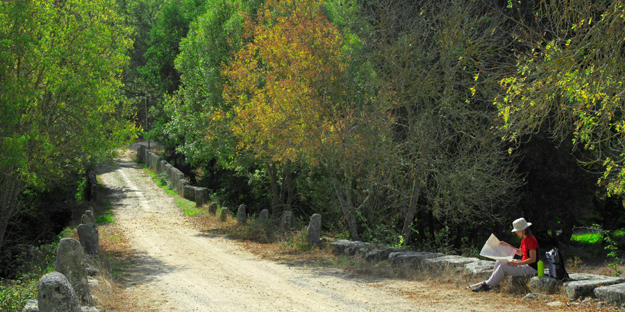
Lush chestnut trees and breath-taking oaks line the route during the descent. As is almost always the case when a trail heads downwards, the end has the name of a river. Few have as beautiful a name as Cuerpo de Hombre (Body of Man) which is crossed via the La Malena Bridge, although some affectionately call it La Magdalena Bridge, not built in Roman times, but medieval in origin, but it faithfully fulfils its function just the same.
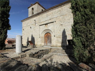
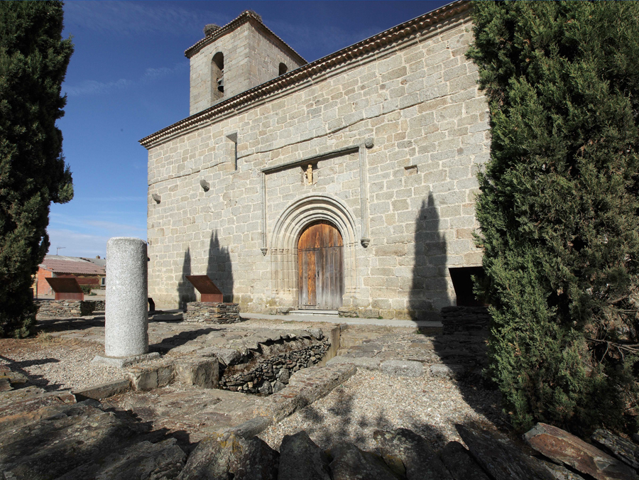
Then it’s back to the flatlands along this anthropomorphic valley, and there at mile 138, the remains of a defensive stronghold remind pilgrims of times that are fortunately long past. The Way then heads into the village of La Calzada de Béjar, crossing through the very villagey Plaza Mayor, under the watchful eye of the Nuestra Señora de la Asunción Church. From there on out, it is the Sangusín River that takes over from the Cuerpo de Hombre and irrigates the still fertile plain but where one can already make out the first Holm oaks of the neighbouring dehesa charra pasturelands. Here, a quick break to contemplate, to the right and taking advantage of the flat plain, the wondrous Béjar mountain range from this breathtaking vantage point.
This area of land, until reaching Valverde de Valdelacasa, is also fertile, but this time with milestone markers, 27 to be precise in just 12 miles! Nevertheless the experts believe that only one of them is located on the actual site of that from ancient Roman times. It got the name “Prao Fusillo” and nearby at some time in the past there should have been the second mansio in the province of Salamanca, the “Ad Lippos”, also lost to the ravages of time.

After several restful kilometres, the rollercoaster landscape returns. A series of small mountain passes go by as the original Vía de la Plata gives way to tracks and narrow country lanes. After leaving Valdelacasa, and for a few hundred metres, travellers share a stretch of the Cañada Real Soriana Occidental, a route used for transhumance farming that runs from Soria to Badajoz, some 700 kilometres through the provinces of Segovia, Avila, Salamanca and Caceres.
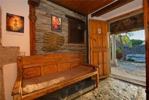
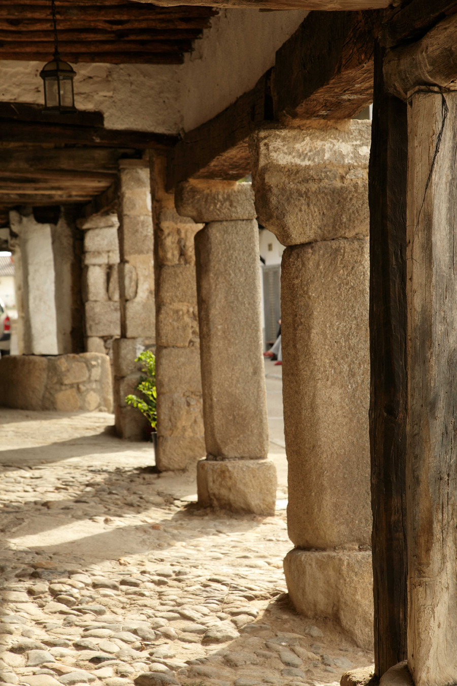
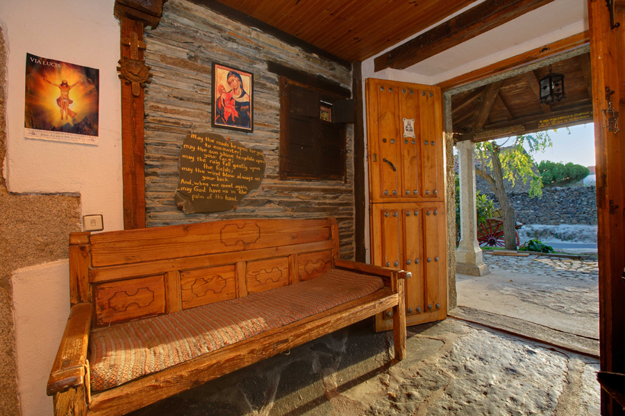
The end of the first stage of the Via de Plata through the centre of the province of Salamanca is Fuenterroble de Salvatierra, a village that is wholeheartedly behind the spirit of the Jacobean route, the parish priest, Blas Rodríguez, the primary instigator. The village hostel is the site for pilgrims and the occasional traveller to stop and rest, as well as the village’s Visitors Centre that features the Way of Saint James.